
Specialist Drone Training · Surveying Track
Drone LiDAR for Surveying & Powerline Corridors
Learn how survey-grade LiDAR data is planned, captured, tested and processed into the terrain, conductor, clearance and vegetation information used in powerline corridor projects.
Develop a structured understanding of the decisions, quality controls and technical deliverables behind professional LiDAR surveying.

The Course At A Glance
From LiDAR fundamentals to utility-ready corridor deliverables.
Apply each module's concepts to one connected corridor scenario.
Test your judgement with scenario-led questions and explanations.
Bring the complete survey and corridor workflow together.
Estimated learning commitment: 12–14 hours for theory and assessments, plus 4–6 hours for the capstone. The course has an 80% pass mark.
The Next Step After Drone Mapping
When Operations Need More Than Photogrammetry
You already understand how overlapping images become an orthomosaic or a surface. But what happens when a client needs bare-earth terrain beneath trees, the geometry of suspended conductors, or an accuracy statement backed by independent testing?
LiDAR introduces new possibilities—and new responsibilities. This course covers where it adds value, how positioning and QA change, and when RGB imagery should still form part of the job.

Your Learning Journey
What You'll Learn Across Seven Modules
The first four modules develop the survey-grade LiDAR workflow. The final three apply it to powerline corridors, analytics and professional delivery.
From Photogrammetry to LiDAR
See how LiDAR changes measurement, where it has an advantage, and how to evaluate sensor specifications in survey terms.
Survey-Grade Control, Trajectory & Accuracy
Explore positioning methods, control and check points, coordinate frames and the evidence behind defensible accuracy statements.
Planning & Flying Survey Missions
Understand how altitude, speed, coverage, flight geometry and field procedures shape the quality of a LiDAR dataset.
Processing to Survey Deliverables
Follow the route from trajectory review and classification to terrain models, CAD features and documented QA.
The Powerline Corridor as an Asset
Learn what must be captured around conductors, structures, crossings and rights-of-way—and what utilities expect.
Corridor Analytics
Explore conductor modelling, clearance assessment, vegetation encroachment, repeat surveys and engineering data hand-off.
Deliverables, Contracts & The Business
Read project requirements, organise client-ready packages, structure pricing and recognise where specialist authorisations are needed.
Applied Learning Outcomes
What You Can Expect To Do
Work towards the decisions and outputs that matter before, during and after a professional LiDAR survey.
Choose The Right Capture Method
Decide whether LiDAR, photogrammetry or both suit a project. Explain the trade-offs against the client's intended use.
Plan A Survey-Grade LiDAR Mission
Turn deliverable requirements into a practical capture approach. Consider coverage, flight parameters and site constraints.
Understand And Document Accuracy
See how positioning, independent checks and consistent reference frames underpin a credible accuracy statement.
Process Data Into Survey Deliverables
Understand the workflow behind classified clouds, terrain products and CAD-ready features—and the QA needed to support them.
Analyse Powerline Corridor Information
Explore how captured conductors, structures and vegetation support corridor models, clearances and repeat comparisons.
Prepare Professional Client Deliverables
Learn how to interpret a utility brief, define deliverables and package survey information that other disciplines can use.
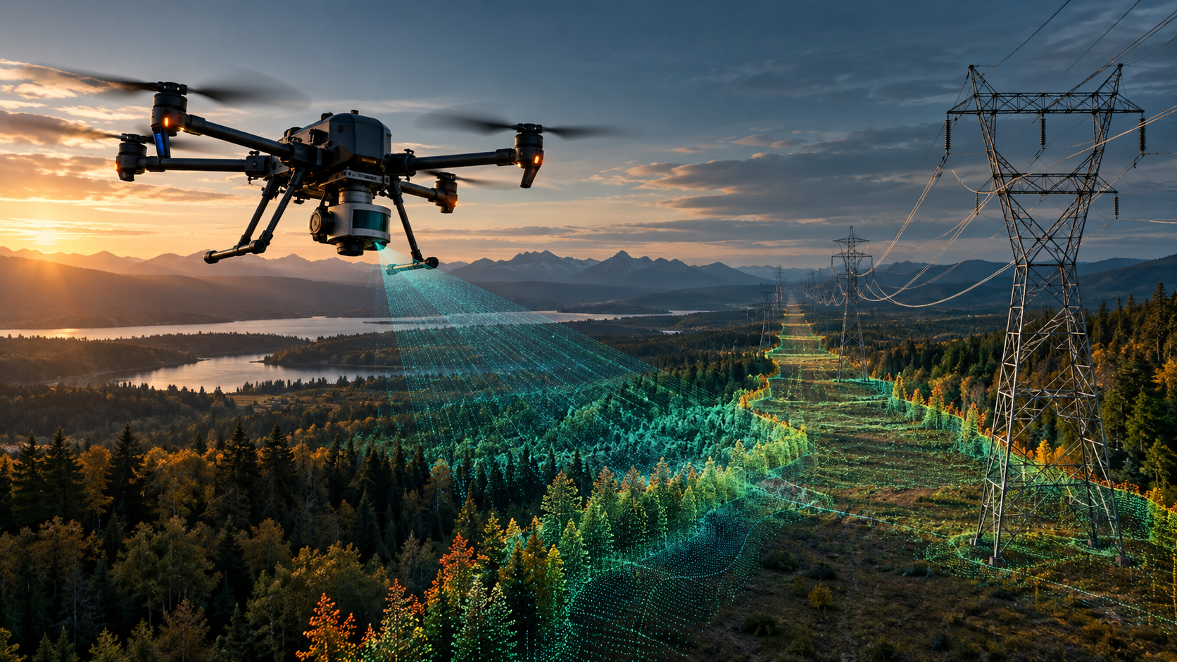
Learn Through Project Decisions
Learn The Workflow By Making The Decisions
A good corridor deliverable starts well before the processing software opens. Throughout this course, one running scenario connects the decisions you make at each stage.
- Choose a suitable survey method
- Consider accuracy and control requirements
- Plan mission geometry and capture
- Review processing and QA decisions
- Assess corridor analysis requirements
- Prepare the technical delivery and proposal
The full practical briefs and assessment materials are included within the course.
Utility Corridor Applications
From Point Clouds To Corridor Decisions
Capturing a point cloud is only part of the job. Corridor teams need to understand the relationship between conductors, structures, ground, crossings and nearby vegetation.
The course introduces the analytics that turn geometry into usable corridor information, including how those outputs are prepared for utility engineering workflows.
Survey data preparation does not replace licensed engineering assessment or compliance certification.

The Capstone
Bring Everything Together In One Corridor Project
Connect the choices made before a flight with the accuracy evidence, corridor analysis and deliverables expected at the end of the job.
The capstone brings together method selection, control planning, flight geometry, processing and QA, corridor analytics and client proposal thinking. The aim is a coherent end-to-end approach—not a collection of disconnected outputs.
Before You Enrol
Who This Course Is For
This is a specialist progression for learners who already understand drone mapping and want to work with LiDAR data at a more demanding technical level.
This Course Suits You If You Are
- A drone service provider expanding into LiDAR surveying
- A survey or civil technician adding aerial LiDAR skills
- A GIS analyst working with geospatial point clouds
- A utility or renewables professional responsible for corridor data
- An engineer or project manager specifying LiDAR deliverables
- An experienced mapping operator looking for specialist training
You Need A Foundation Course First If
- You have never planned or flown a mapping mission
- You are unfamiliar with GSD, overlap or ground control points
- Coordinate systems and vertical datums are new to you
- You have not processed photogrammetry mapping outputs
- You are looking for introductory pilot instruction or a professional licence
Consider ABJ Drone Surveying & 3D Modelling as a foundation course, or enter with equivalent experience.
Inside The Course
How The Learning Is Structured
The modules build in sequence, with opportunities to apply and test your understanding before the final project.
Seven specialist modules that move from LiDAR fundamentals into the corridor workflow.
One scenario-based exercise per module, connected to the same project.
Module assessments with explanations that support decision-making.
A course-wide assessment drawing on the material from all seven modules.
A complete corridor-job approach bringing the technical stages together.
Your Next Specialist Course
Ready To Add Survey-Grade LiDAR To Your Corridor Workflow?
Build the technical understanding needed to plan, assess and deliver LiDAR data for surveying and powerline corridor applications.
Explore More Specialist Drone Courses