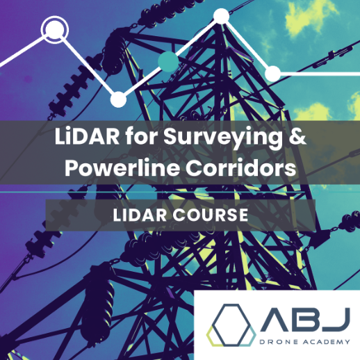
Drone LiDAR for Surveying & Powerline Corridors

Drone LiDAR for Surveying & Powerline Corridors

Original price was: $1,400.00.Current price is: $395.00. Plus VAT in relevant countries

Add survey-grade LiDAR to your photogrammetry skills and turn a corridor point cloud into the conductor, clearance and vegetation deliverables for utility clients.

Modules cover control points and PPK, ASPRS Edition 2 accuracy reporting, corridor mission planning, processing to DTMs and volumes, catenary fitting and encroachment analysis.
SKU: LIDAR-SURVEY-POWERLINE Category:

Description

Built for graduates of the ABJ Drone Surveying & 3D Modelling course, this Level 2 programme takes you from photogrammetry to survey-grade LiDAR to the full powerline corridor model.

Learn how to choose the right capture method for a site, fly corridor missions safely near energized plant, and process raw data into surfaces, contours and a QA report

Go to Top