

A thermal imaging drone merges UAV versatility with advanced infrared technology. These cameras detect heat signatures that are invisible to the naked eye, and integrated software them into detailed thermal maps.
Why does this matter? Heat patterns reveal critical information — from identifying overheating machinery, pinpoint fire hotspots, and even locate missing people in complete darkness.
Valued at $5.71 billion in 2023, the thermal drone market is projected to hit $15.2 billion by 2032. That’s a CAGR of 11.48%. They are increainlgly being integrated by corporates, law enforcement and emergency responders.
Firefighters use thermal drones to find smoldering embers and rescue victims in disasters. Farmers monitor crop health and livestock, detecting issues early. Inspectors identify faults in solar panels, wind turbines, and power grids with pinpoint accuracy.
The military too uses thermal imaging drones for surveillance and reconnaissance to give them a tactical edge. These need to be Blue UAS approved though.
How Thermal Drone Imaging Works
Every object above absolute zero emits infrared radiation. Thermal cameras capture this radiation and convert it into visual images. These images display temperature differences, making it easier to identify heat patterns.
The typical infrared camera relies on three critical components:
- Thermal Sensors: They are the core of the system, detecting infrared radiation and converting it into electronic signals. High-quality sensors deliver precise results, capturing even the smallest temperature variations.
- Lenses: Specialized lenses focus infrared radiation onto the sensors. Often made of germanium, these lenses ensure accuracy and clarity. Without the right lens, even advanced sensors can’t perform optimally.
- Image Processors: Image processors transform the captured heat data into visual outputs. Advanced processors overlay thermal images with standard visuals, adding context and detail.
This imaging system then mounted on a drone to collects data. It can be integrated in the drone’s design, or carried as a separate payload.
Key Features of Thermal Imaging Drones
1. Thermal Sensor Resolution
Thermal sensor resolution in a drone refers how much detail the drone’s camera captures. It’s measured by the number of pixels in the sensor, expressed as width x height—for example, 160×120, 320×256, or 640×512.
More pixels mean clearer images. A 160×120 sensor has 19,200 pixels. In comparison, a 640×512 sensor delivers 327,680 pixels. That’s over 17 times the detail.
Higher resolution is useful for precise analysis operations (e.g., inspecting small objects, identifying heat leaks, or finding people in search and rescue missions).
Lower resolution works for basic tasks like detecting large temperature differences over a wide area or monitoring livestock.
The resolution goes hand in hand with the Field of View (FoV). The sweet spot is getting a higher-resolution thermal camera with a wide FoV can maintain good detail over a larger area.
2. Thermal Sensitivity (NETD)
While resolution determines the image detail, temperature sensitivity or NETD (Noise-Equivalent Temperature Difference) indicates the smallest temperature difference a thermal sensor can detect. This impacts accuracy of the data collected, and is expressed in millikelvins (mK).
A lower NETD indicates higher sensitivity and clearer images. For instance, a thermal imaging system with 50 mK NETD detects temperature changes as small as 0.05°C between two objects or areas.
- High Sensitivity (Lower NETD)
NETD = 30mK (0.03°C): Used for applications requiring high precision, like medical imaging, detailed building inspections, or research.
Can distinguish subtle heat variations, such as the difference between a person’s face and their surroundings in dim light.
- Moderate Sensitivity:
NETD = 50mK (0.05°C): Common for search and rescue or agricultural drones. Useful for detecting body heat at night or identifying plant stress in fields.
- Low Sensitivity (Higher NETD):
NETD = 100mK (0.1°C): Sufficient for general-purpose use, such as basic industrial inspections or firefighting.
Effective for detecting larger heat differences, like identifying overheating machinery or hot spots in a fire scene.
Related Reading: Powerline Inspection Drone Technology : How It Works, Benefits & Industry Regulations
3. Flight Time and Payload Capacity
Balancing flight time with payload capacity is crucial. A thermal imaging camera on drone adds weight, reducing flight time. Most professional drones offer 20–30 minutes per charge, enough for small-scale tasks.
For larger projects, extended flight times or swappable batteries are necessary. Payload capacity also determines whether additional sensors, like RGB or LiDAR, can be included.
4. Weather Resistance and Durability
A drone with thermal imager must withstand harsh environments. Many models are rated IP43 or higher, providing protection against water and dust.
In firefighting, drones require heat-resistant casings to operate near high temperatures. Strong materials like carbon fiber enhance durability, ensuring drones survive challenging conditions.
These features collectively ensure reliable performance, even in demanding scenarios.
Applications of Thermal Imaging Drones
Industrial Inspections
Industries depend on drone thermal imaging for efficiency and safety. In solar farms, thermal drones detect overheating cells in minutes. This prevents costly downtime.
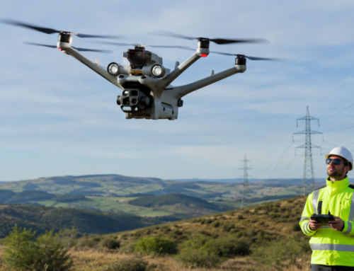
Wind turbines face wear and tear from harsh conditions. Traditional inspections involve dangerous climbs. A thermal imaging drone simplifies this, identifying damage or overheating motors safely.
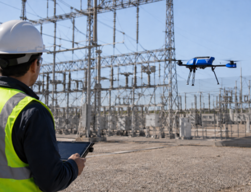
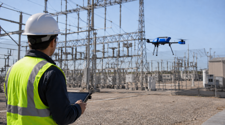
Similarly, power line inspections benefit from drones detecting hotspots in transformers and conductors.
Become A Licensed Drone Operator: Cell Tower Inspection Level 1 and Level 2 Courses Now Available.
Building and Infrastructure Assessments
Buildings often face heat loss, water leaks, or structural issues. Thermal imaging drones excel at identifying these problems.
For example, they detect insulation gaps in walls, reducing energy costs. During storms, drones locate water leaks before damage escalates.
Structural assessments of bridges or tunnels are safer and faster with drones. They reveal cracks or weaknesses through temperature variations, preventing accidents.
Precision Agriculture
Farming has entered the digital age, and thermal imaging drones lead the charge.
They monitor crop health by identifying stressed plants through heat patterns. Farmers can address irrigation or disease issues before they escalate.
In livestock management, drones track animal locations and detect early signs of illness. This ensures healthier herds and better productivity.
Firefighting and Search & Rescue
In emergencies, thermal imaging drones save lives.
In wildfires, drones locate hotspots obscured by smoke or dense vegetation. This guides firefighters to areas needing urgent attention.
Search and rescue missions rely on drone thermal imaging to detect body heat, even in complete darkness, and also greatly reduce search times.
Related Reading: Drone Training for First Responders – UAVs, Skills & Certifications For Emergency Personnel
Environmental Monitoring
Researchers use drone thermal imaging to track wildlife without disturbing their habitats. This is vital for studying nocturnal species or migration patterns.
Pollution detection is another application. Drones identify thermal anomalies in water bodies, often caused by industrial discharge. Authorities can respond swiftly, mitigating environmental damage.
How To Select the Right Thermal Imaging Drone
-
Assess Operational Needs
Start by defining your requirements. Are you inspecting power lines, monitoring crops, or conducting rescues? Each task demands specific features.
For industrial work, a thermal imaging camera on drone with high resolution is essential. Agricultural tasks need wide coverage, while rescue operations prioritize speed and maneuverability.
-
Budget Considerations
Thermal drones range from $5,000 to over $30,000. Entry-level models suffice for basic tasks, but professional applications demand higher-end drones.
Factor in accessories like batteries and software when budgeting.
-
Regulatory Compliance
Drone regulations vary globally. Know your local laws regarding drone operation and data privacy.
In the U.S., the FAA requires a Remote Pilot Certificate for commercial drone use. Ignoring regulations can result in fines or legal issues.
Related reading: Key FAA Drone Regulations Every U.S. Pilot Should Know
Thermal Drone Training
That fancy drone with thermal camera won’t do you much good if you can’t interpret what it’s showing you. Proper training turns blurry heat blobs into actionable insights.
Want to impress clients or land that big job? Certifications add credibility and open doors to professional opportunities.
Courses like ABJ Academy’s Drone Thermography Level 1 and Level 2 are available to equip you with the necessary skills.