
Drone Surveying and 3D Modeling Online Training Course
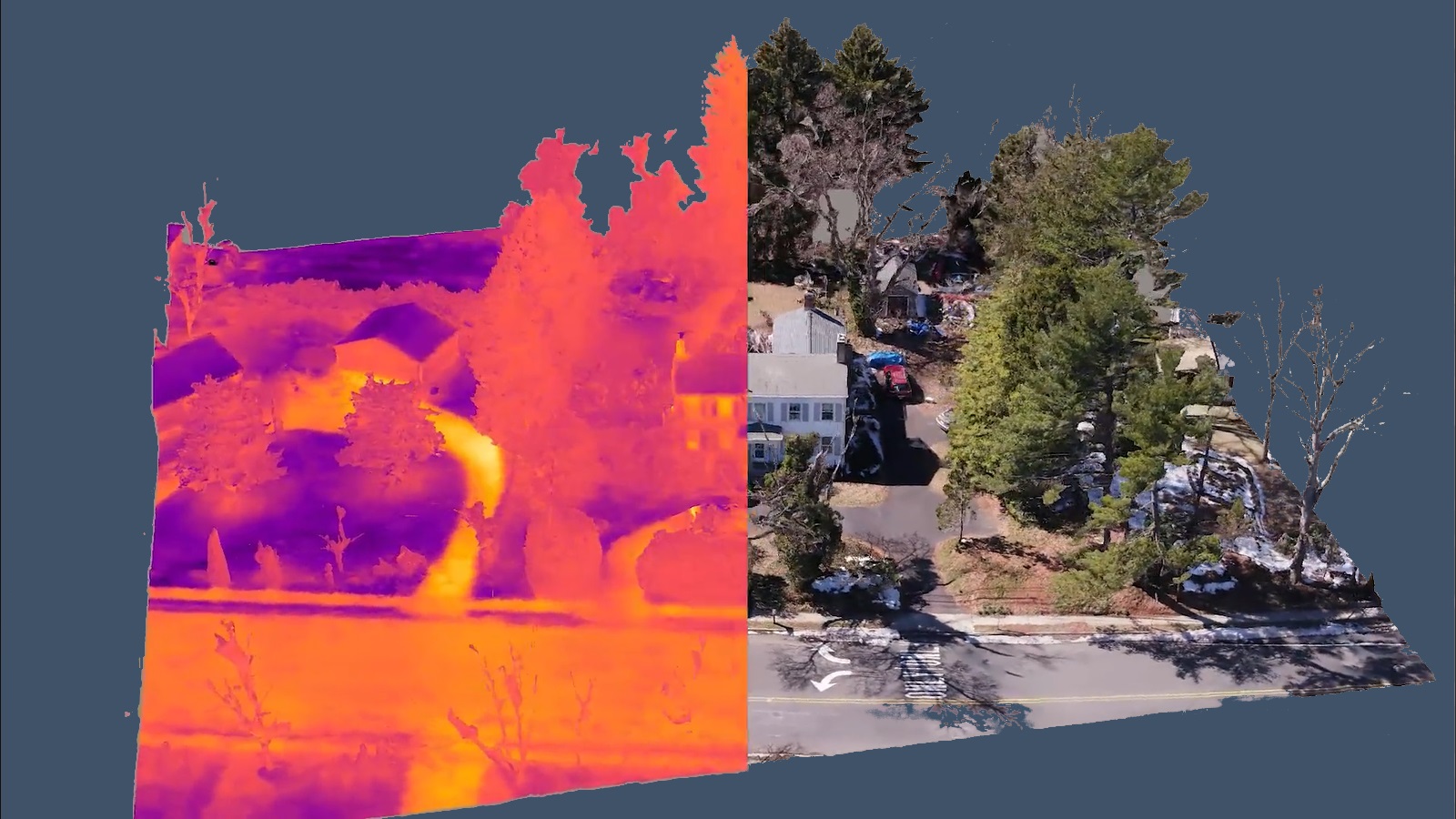
This course will give you the knowledge to start performing drone based surveying jobs. Visual images, maps, and models are the most common deliverables. Drone surveying also encompasses data captured with infrared and multispectral / hyperspectral cameras. By utilizing different sensors and capture methods, drones are able to provide useful data to a wide range of industries. This course will show you how to do this and more.
During the Drone Surveying course, you will learn…
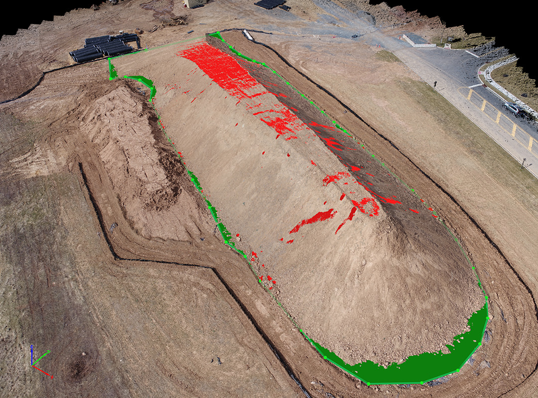
This drone surveying course is about the creation of maps, 3D models, and other geographical data via drone. It is most commonly done by taking many images at different locations and then using software to merge them all together, creating a geometrically accurate map or model. In practice, this is accomplished using software that automates both flight and image capture.

Four Core Modules
Module 1: Introduction to Surveying
Module 2: Basics and Terminology
Module 3: Capture and Processing Methods
Module 4: Surveying Jobs
At the end there is a 30 question quiz to test your understanding of the material.
Frequently Asked Questions
Who is this course for?
This course is designed for drone pilots looking to expand their skillset to include surveying, mapping, or modeling. It will lead you through the basics of drone surveying from flight planning to data capture.
Do you need prior knowledge?
No prior knowledge of thermography is required. You can be a beginner and still be able to grasp the information.
What are the prerequisites for the course?
Ownership of a drone, as well as basic drone flying ability is assumed. In order to perform surveying jobs, it’s best if you are comfortable generally flying your drone first and have your Part 107, PfCO or the necessary license within your region.
What will I be able to do after this course?
This course will give you the knowledge to start performing drone based surveying jobs. You will be familiar with the types of data that need to be collected for both 2.5D (mapping) and 3D (modeling) surveying work, as well as how to effectively capture images for both cases. The information is geared towards visual photogrammetry, but the same methods apply to thermal mapping, multispectral imaging, and other remote sensors.
Why ABJ Drone Academy?
We provide relevant and innovative drone education based on global in-field and experienced pilots who have provided services in a multitude of industries and categories from general photography to full scale energy infrastructure inspections. Our programs are less theory and more factual, exactly what you and your organization needs to bring the up-most value, while saving time and avoiding huge potential problems.