

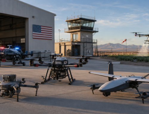
Drones across the U.S. are being used to keep cities safer. There are already 1,665 agencies across the country using drone systems in their operations. And Palm Springs is doubling down with its program.
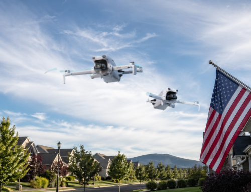
This California desert city just launched the largest radar-enabled police drone coverage area in the United States. We’re talking 37 square miles. All covered. With zero human visual observers on the ground.
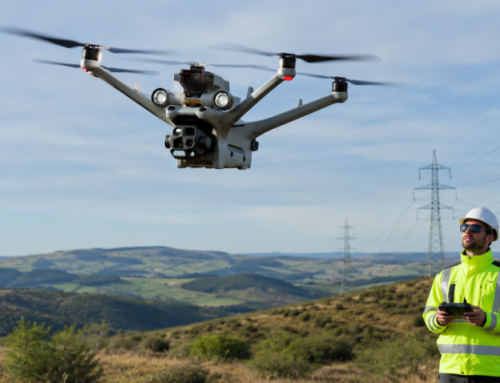
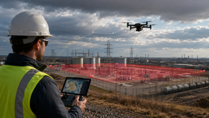
The Palm Springs Police Department (PSPD) teamed up with MatrixSpace to expand their Drone as First Responder (DFR) program. These drones respond directly to 911 calls.
And there’s more. The department is pushing for FAA approval to fly beyond visual line of sight (BVLOS). That means drones operating without needing anyone watching from the ground.
Night. Rain. Fog. These drones will still fly.
Let’s break this all down. How it works. Why it matters. What it could mean for your city.
What Is the Drone as First Responder (DFR) Program?
The DFR program is exactly what it sounds like. Drones show up first. Before officers. Before backup.
The moment a 911 call comes in, a drone is launched. It zooms to the scene from one of several locations around the city. While officers are en route, the drone is already there, capturing video and feeding it back live. This footage is crucial intel. Is there a weapon involved? Are there injured people? Is it safe for officers to enter? These questions get answered before anyone walks into danger.
Drones also help calm situations. If someone is agitated or aggressive, an officer might escalate things just by showing up. But a UAV flying overhead can watch, record, and give space.
Right now, Palm Springs has three launch points. That means faster response from multiple angles. Soon, two more launch points will go live. The goal is citywide reach.
Lt. William Hutchinson from PSPD calls the program efficient and accurate. That’s backed by results on the ground. Drones don’t panic. They don’t misread a situation. They provide information. Instantly. And that changes how police respond.
PSPD Operating Beyond Visual Line of Sight with Drones
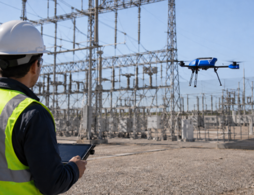
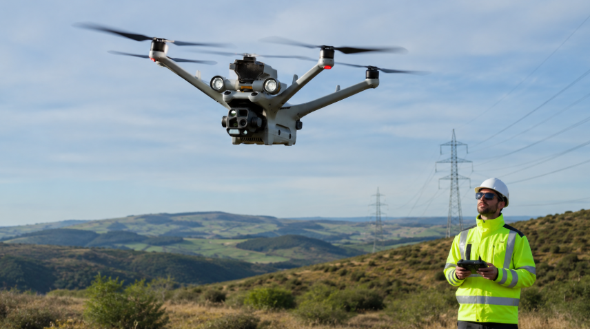
Most police drones today need someone watching them.That limits how far and where the drone can go. Palm Springs is changing that.
They’re applying for FAA approval to fly drones beyond visual line of sight (BVLOS). If approved, one trained pilot could control drones across the city—without having to stand nearby. That saves time. And it saves resources.
This is possible with the MatrixSpace 360 Radar. The system consists of compact, high-powered radar sensors. Each node watches the skies, tracking aircraft, helicopters, and even drones. No need for someone to keep looking up and squinting.
The approach is especially critical in Palm Springs. The city shares airspace with Palm Springs International Airport. There are also air tours, medical flights, and private planes constantly flying overhead.
The radar system sends instant alerts if something’s nearby. Drone pilots can quickly move away or pause flight. Everyone stays safe. Oh, and the drones don’t stop just because it’s dark or raining. The radar works in all weather. All hours.
When the FAA signs off, Palm Springs will fly farther than many other departments.
Related Reading: Drone Training for First Responders – UAVs, Skills & Certifications
Community and Regional Benefits
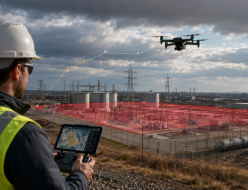
Palm Springs is more than palm trees and golf courses. It stretches across 95 square miles of rugged terrain, desert, and mountains. Finding someone lost in that landscape is hard. Doing it on foot? Taxing and resource intensive. That’s not the case when sending a drone, which is exactly what PSPD is doing. Their drones can search for missing hikers, dependent adults, or children in minutes. Not hours.
And with 7 million tourists visiting every year, things get crowded. Festivals. Parades. Sporting events. These draw huge crowds and create new challenges for public safety. Instead of adding more boots on the ground, drones offer aerial overwatch. They identify traffic issues, locate suspicious activity, and spot danger before it happens.
And they can respond to crimes in progress without putting officers directly in harm’s way.
But Palm Springs isn’t thinking small. Their radar network is built to expand. The city borders eight other jurisdictions in Coachella Valley. The total regional population is about 470,000. PSPD’s tech could eventually support regional response coordination, disaster alerts, or shared surveillance efforts.
Privacy, Policy, and Public Trust
This kind of program raises questions. Good ones.
Are drones spying on residents? Watching protests? Profiling individuals?
No.
Palm Springs follows California’s AB481 law. That law governs how “military equipment” like drones can be used.
Strictly.
PSPD’s drone policy spells out what’s not allowed:
- No random surveillance
- No targeting people based on race, gender, religion, or background
- No watching peaceful protests unless violence is imminent
- No personal use
- No weapons
Period.
And no, footage isn’t just uploaded to YouTube. All drone video is stored securely on evidence servers. It’s only accessed by investigators, and only for real cases. Most footage is deleted after two years unless it’s tied to a criminal investigation.
Access is limited. Video and photos are treated like any other piece of police evidence. You can’t just request a drone video for fun. Public access is restricted by the same rules as body camera footage.
That matters. Because trust is earned with transparency. Palm Springs is upfront. They publish a monthly drone usage report online.
How the Palm Springs Police Department Drone Program Works
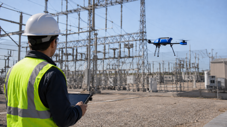
This is a smart, connected network, and MatrixSpace Radar is at the heart of it. These small sensors detect airborne and ground movement. They work in low light. They work in fog. They even track unauthorized drones.
Each sensor feeds data to a central system. That system gives pilots total situational awareness. If a helicopter’s coming in? The drone moves. Instantly.
Right now, there are ten radar nodes installed throughout Palm Springs. That means full low-altitude airspace coverage. It’s like giving drones their own air traffic control. Even better, one pilot can control drones from multiple launch sites. That’s unheard of in traditional police drone programs. This saves money. Instead of training dozens of pilots, you need a few specialists.
Become a UAS Specialist with ABJ Academy Drone Courses
The drones themselves are guided, monitored, and backed by live radar. The system even detects rogue drones. If someone’s flying illegally near the airport, MatrixSpace flags it.
This tech supports more than police work. It sets the foundation for future drone delivery, emergency response, and public transit projects. Yes, air taxis might sound wild now. But when they come, Palm Springs will be ready.
Keeping the Skies Safe and the Community Safer
Palm Springs has already built one of the country’s most advanced radar-connected police drone network. They’re operating it every day.
What’s next?
Bigger collaborations. Wider coverage. Smarter city planning. MatrixSpace says this tech can scale. Across departments. Across borders. Across industries.
Imagine a wildfire. Ten cities. One drone network. Or coordinating mass evacuations using real-time aerial data. That’s what this infrastructure makes possible. This system is built to grow. Not just in Palm Springs. Anywhere.
And the tech isn’t locked behind closed doors. It’s on display. Monthly reports. Public websites. Open meetings. This is public safety done differently.